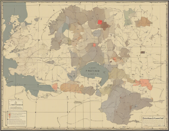
Maps are powerful tools that help us navigate and understand the world around us. One type of map that holds particular significance is the political map. Political maps provide a visual representation of political boundaries between countries, states, provinces, cities, and other administrative divisions. They not only showcase these boundaries but also highlight important political features such as capitals, major cities, and significant bodies of water. In this article, we will delve into the intricacies of political maps, how to read them, their importance, and how they can enrich our understanding of global dynamics.
What is a Political Map?
At its core, a political map is a map that displays boundaries between various entities, be it countries, states, counties, or cities. These boundaries are usually depicted with different colors or patterns to distinguish one political entity from another. The purpose of a political map is to provide a clear visual representation of political divisions and territories. Unlike physical maps, which focus on natural features like mountains, rivers, and deserts, political maps emphasize man-made divisions.
Understanding Political Boundaries
Political boundaries are crucial for understanding the governance and organization of a specific region. These boundaries can be based on factors such as historical events, cultural divides, treaties, or administrative decisions. There are several types of political boundaries:
-
National Borders: These are boundaries between sovereign nations. Each country has its own set of laws, governments, and regulations that govern its territory.
-
State or Provincial Borders: Within countries, there are smaller administrative divisions such as states, provinces, or territories. These subdivisions have their own governments that manage local affairs.
-
County and City Limits: Counties and cities have their own jurisdictions and local governments that cater to the needs of residents within their boundaries.
Reading a Political Map
Reading a political map may seem daunting at first, but with a few key pointers, anyone can decipher the information it presents:
-
Legend: The legend or key on the map explains the symbols and colors used to denote different political entities. It is essential to refer to the legend to understand the map correctly.
-
Color Coding: Countries or regions are often color-coded to differentiate between them. Each color represents a specific country or political entity.
-
Labels: Political maps are peppered with labels indicating the names of countries, capitals, cities, and other important landmarks. Paying attention to these labels can provide valuable information.
-
Borders: Political boundaries are depicted with lines. National borders are usually solid lines, while state or provincial borders may be dotted or dashed.
Importance of Political Maps
Political maps serve several functions that are integral to our understanding of the world:
-
Geopolitical Analysis: By studying political maps, analysts can gain insights into international relations, conflicts, alliances, and power dynamics between nations.
-
Navigation and Travel: When planning trips or understanding global events, political maps are invaluable tools for navigating different regions and understanding their political contexts.
-
Education: Political maps are essential in classrooms to teach students about the world’s political divisions, historical events, and cultural differences.
-
Decision-Making: Governments, businesses, and organizations use political maps to make informed decisions regarding resource allocation, infrastructure development, and international partnerships.
Political Map FAQs
1. What is the difference between a political map and a physical map?
A political map focuses on political boundaries between countries, states, and cities, while a physical map showcases natural features like mountains, rivers, and deserts.
2. How often do political boundaries change?
Political boundaries can change due to various factors such as wars, treaties, secession movements, or administrative reforms. Changes in political boundaries are not uncommon in history.
3. Can political maps show disputed territories?
Yes, political maps can depict disputed territories by using specific symbols or colors to indicate areas that are claimed by multiple countries or entities.
4. Are there online tools available to create custom political maps?
Yes, several online platforms offer tools to create custom political maps where users can select boundaries, colors, and labels according to their preferences.
5. How do political maps reflect cultural diversity?
Political maps often showcase cultural diversity by delineating boundaries based on ethnic, linguistic, or religious differences. These divisions highlight the rich tapestry of cultures within a region.
Conclusion
Political maps are indispensable tools for understanding the complex web of political divisions that shape our world. By deciphering these maps, we can gain valuable insights into national identities, geopolitical dynamics, and historical developments. Whether for educational purposes, geopolitical analysis, or travel planning, political maps are essential companions in our quest to navigate the intricate terrain of global politics.


